Hands-On Workshop on Advanced Digital Mapping using QGIS
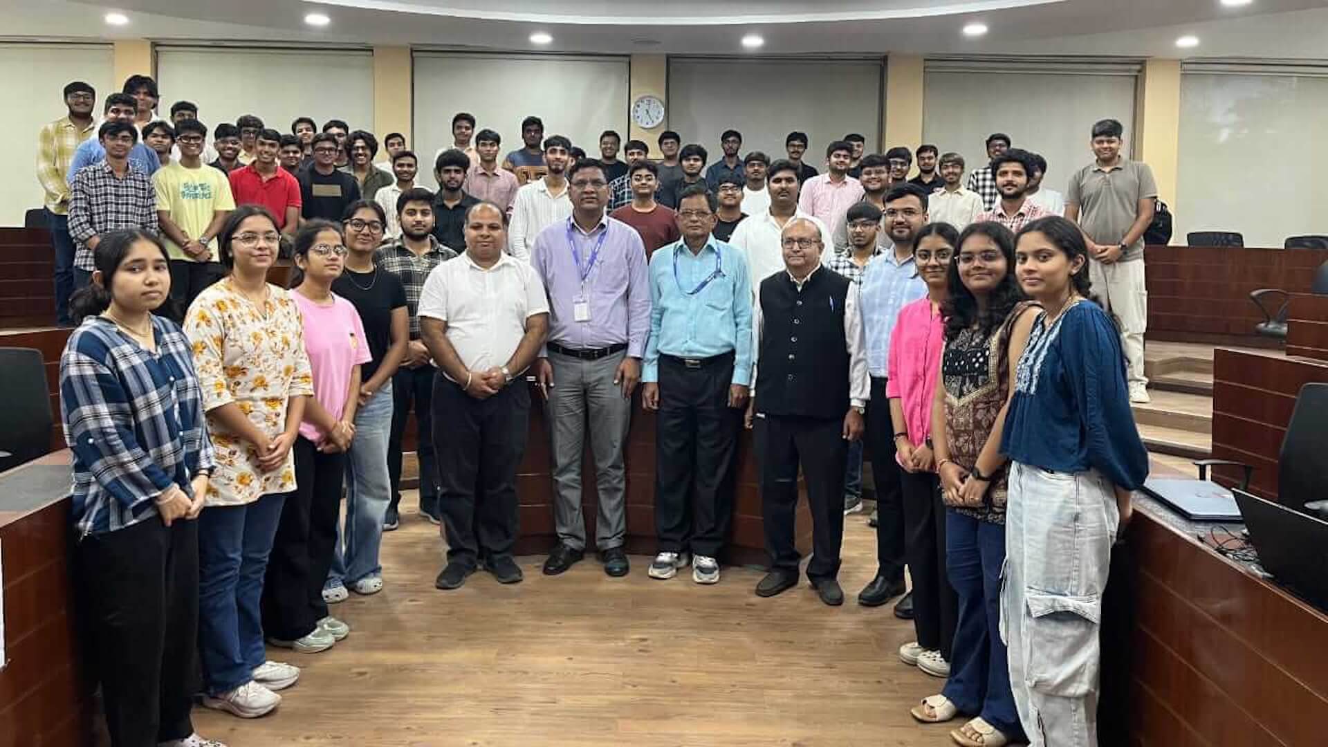
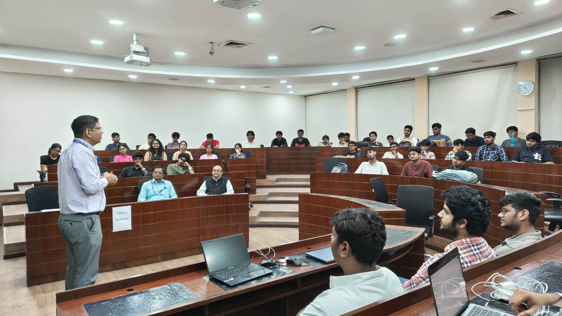
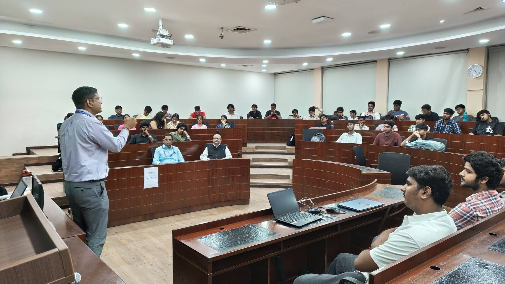
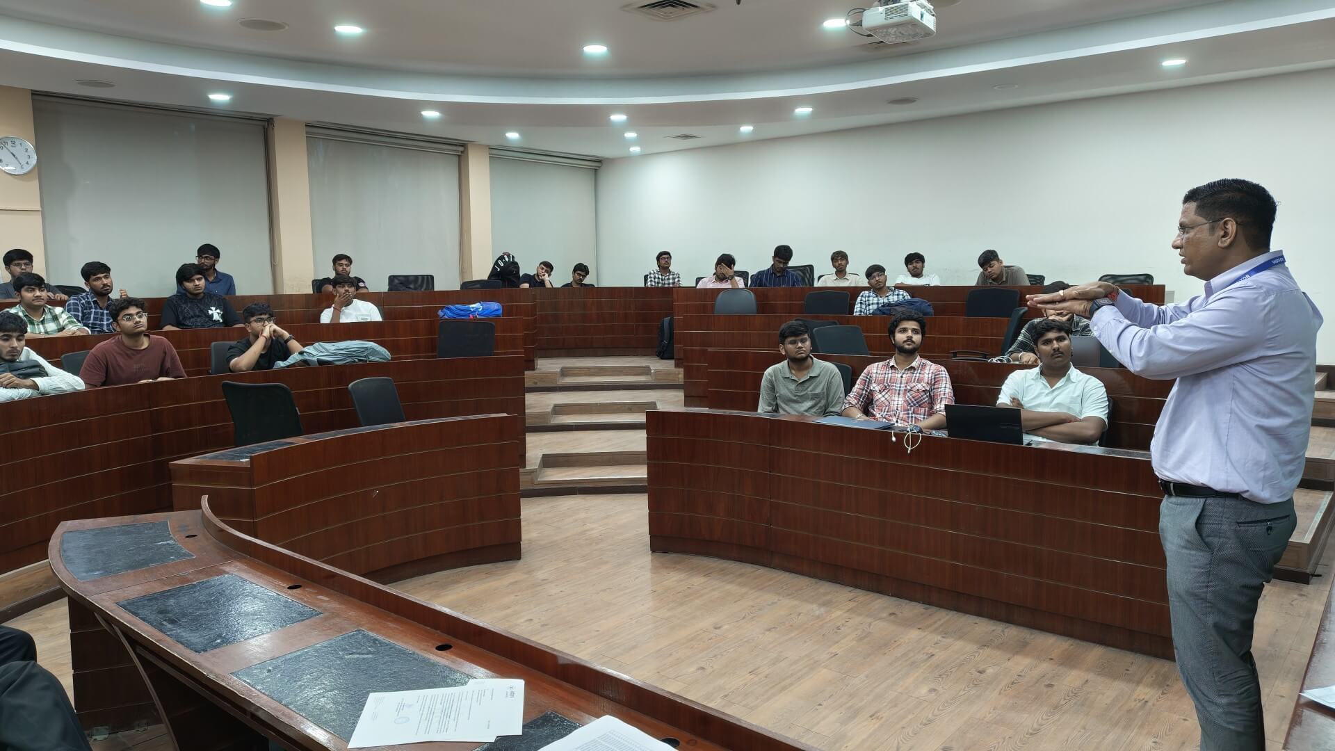
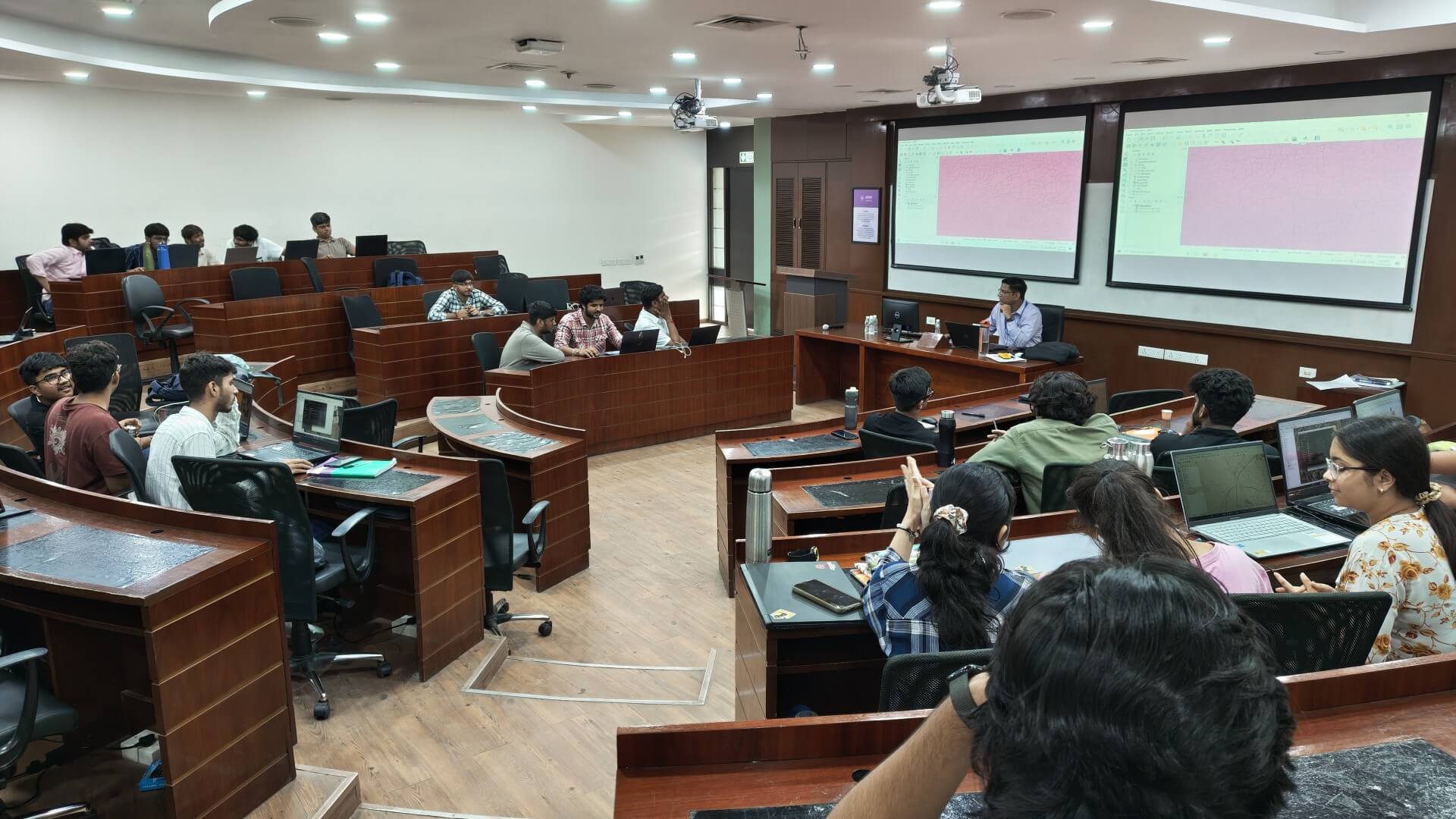
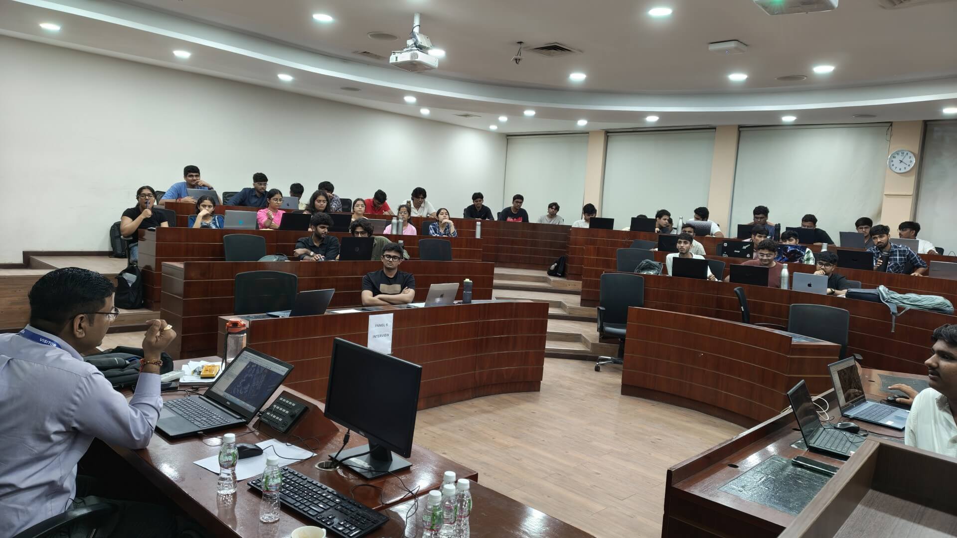
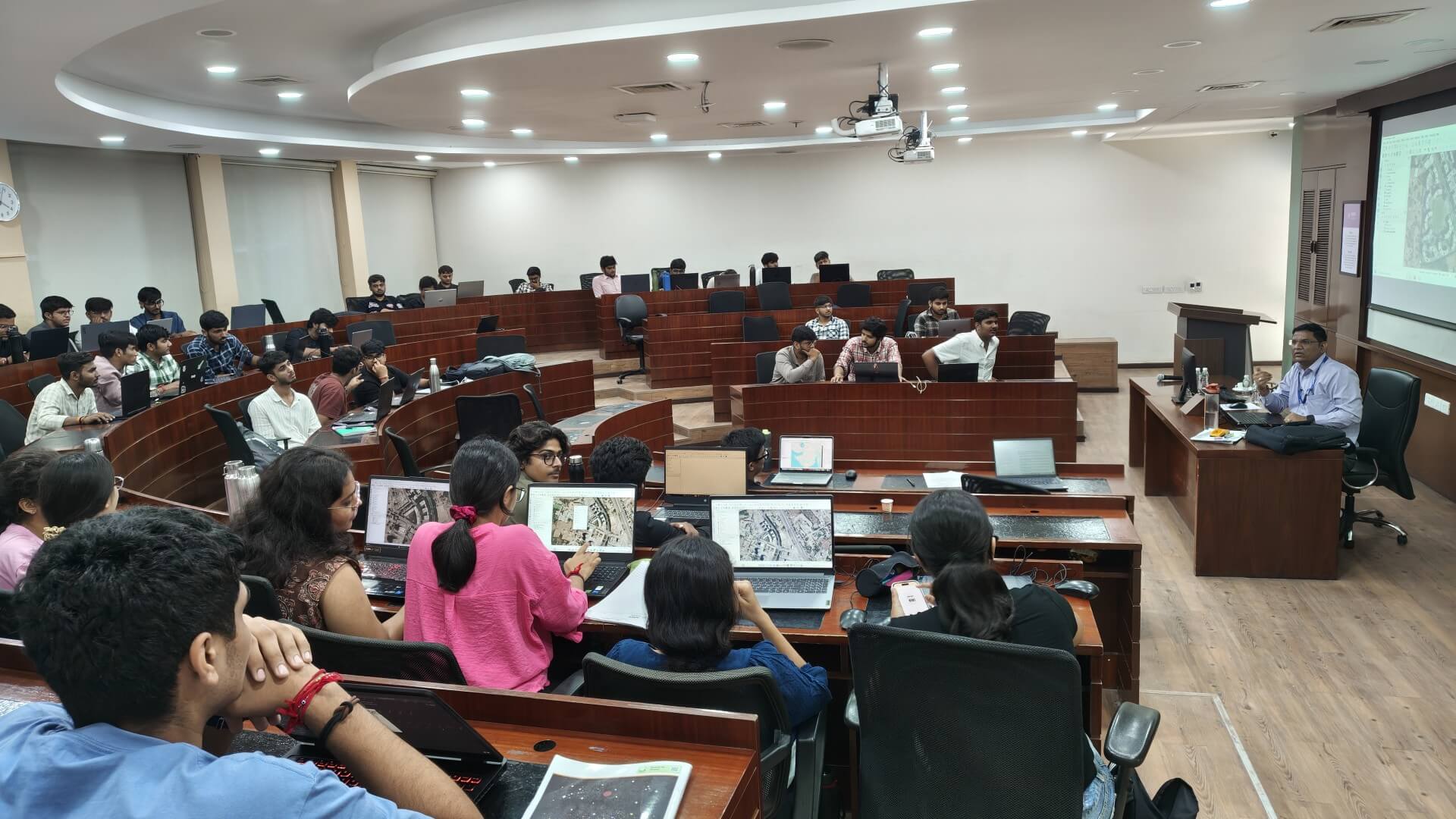
On September 17, 2026, the Department of Civil and Infrastructure Engineering hosted a specialized expert session titled “Application of QGIS Software for Digital Mapping.” Designed specifically to complement the current coursework of the 2nd-year (III-semester) Infrastructure Engineering and Construction Management (ICIEPM) students, the interactive workshop was expertly guided by Dr. Krunal B. Suthar (Head and Assistant Professor, P.G.
Department of Geomatics, ISTAR, VVNagar), an acclaimed specialist in Geoinformatics.
The comprehensive session provided students with practical exposure to modern spatial analysis, featuring key activities such as:
- Geospatial Data Fundamentals: Introduction to open-source GIS environments and spatial data management.
- Complex Map Development: Step-by-step creation of detailed contour, cadastral, and thematic maps.
- Real-World Mapping Scenarios: Applying theoretical Geomatics concepts to solve practical, real-time mapping challenges.
- Advanced Analytical Tools: Utilizing QGIS features for data visualization and infrastructure planning.
The session offered a highly engaging perspective on the evolving role of geographic information systems in modern construction and infrastructure management. Under Dr. Suthar’s guidance, students translated raw geospatial data into meaningful visual models, exploring the software’s extensive capabilities through rigorous hands-on practice.
The workshop saw active and eager participation from the ICIEPM Students, fostering an environment of curiosity and technical exploration. By providing students with direct exposure to industry-standard mapping software, the initiative successfully enhanced their digital competencies and highlighted Adani University’s dedication to experiential learning and cutting-edge technological readiness.